|
||||||||||||||||||||||||||||||||||||||
|
Home
> Geomorphology: mapping of palaeosurfaces
Geomorphology: mapping of palaeosurfaces
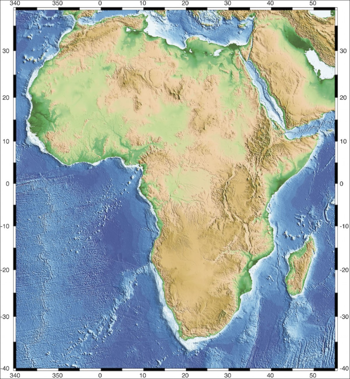
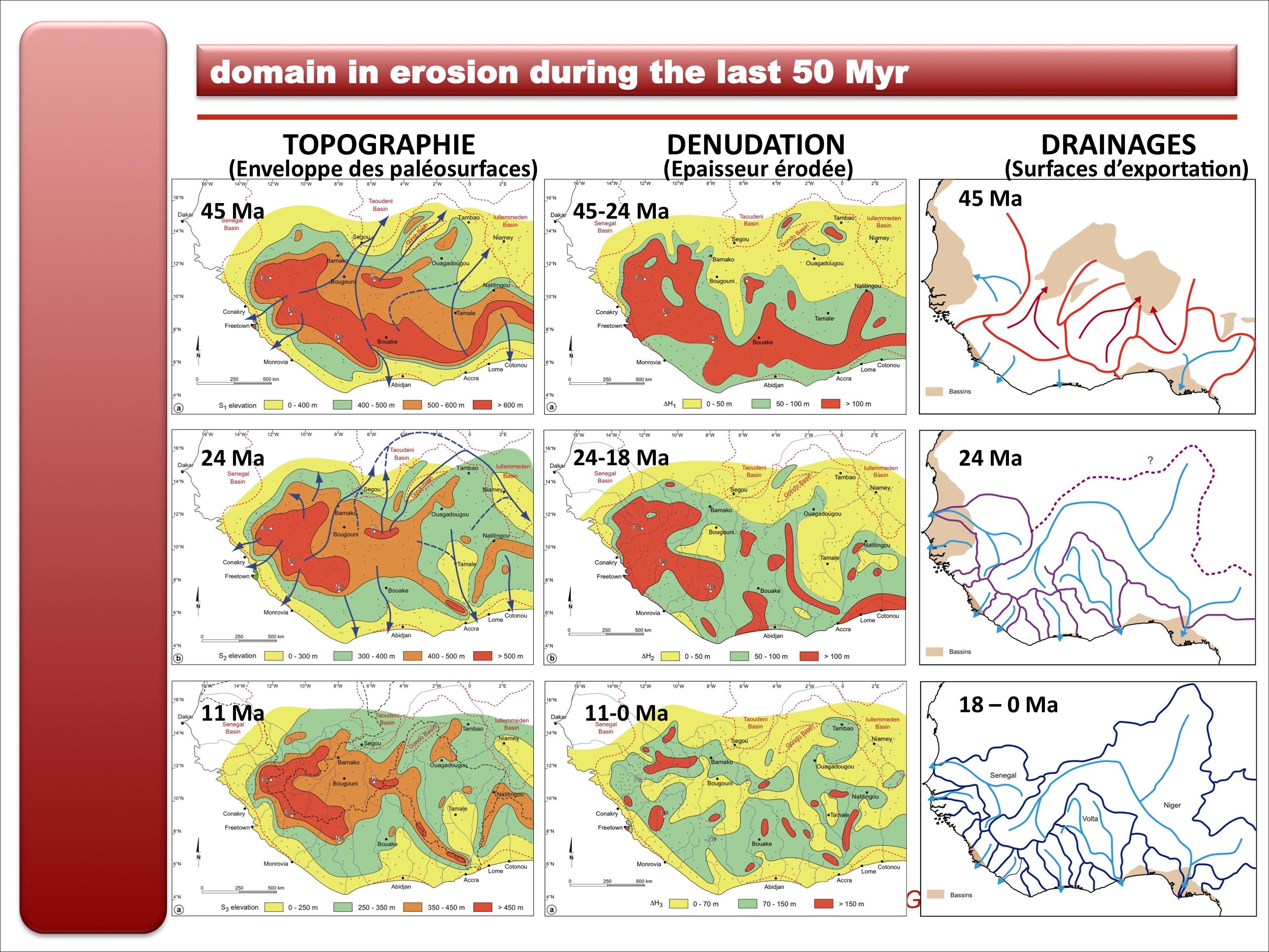
Paleosurfaces of sub-continental extent are markers of paleolandscapes and past base levels. They include exposed erosional surfaces and their lateral extensions as sequence boundaries in sedimentary basins. Cenozoic paleolandsurfaces are particularly well preserved in Central and Western Africa, where they are characterized by specific lateritic duricrusts. They have been locally dated by stratigraphic or geochronological means and mark successive erosion stages of the so-called African surface, which is the end result of a long period of intense weathering that ended in the Eocene. Mapping and spatial analyses of the relicts of paleolandsurfaces is therefore used to constrain the post-Paleocene surface evolution of Africa on a sub-continental scale. More specifically, this work package aims at:
- reconstructing the successive topographies and geometries of large-scale drainage (map and long-profile patterns); - estimating the spatial and temporal variability of denudation rates; - quantifying outward erosional fluxes for large catchments of well-defined shape to be compared with the offshore sedimentary record; - modeling epeirogeny due to combined cratonic erosional discharge and sedimentary loading of the adjoining margin; - quantifying the distortion of the African surface that led to the formation of the basin and swell topography of the continent and estimating the induced surface mass transfers. 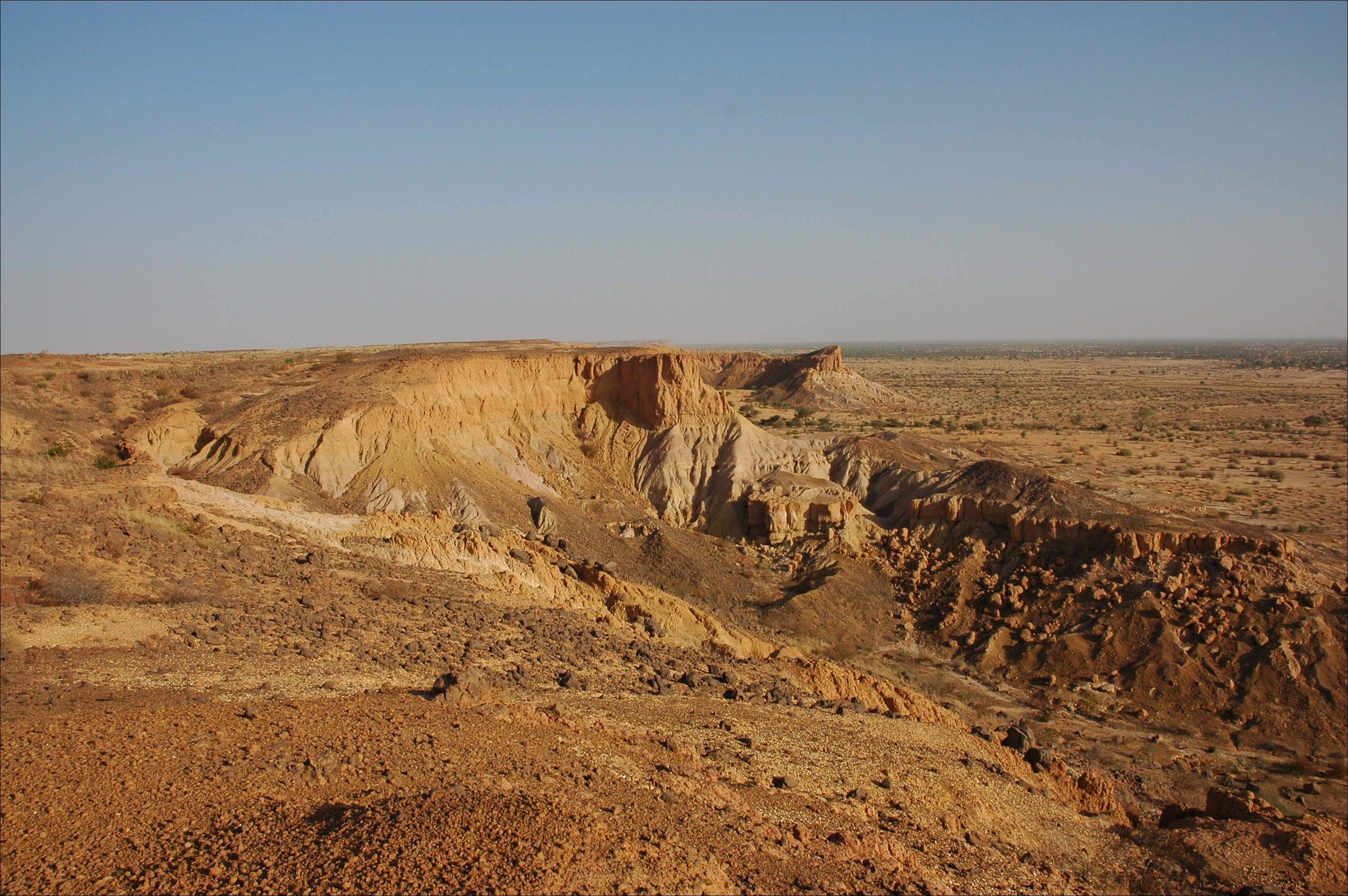
29h. The late Oligocene Intermediate erosion surface, capping fluvial sediments of the Continental Terminal, and incised by ca. 100 m. Iullemmeden basin (Niger). Photo: D. Chardon.
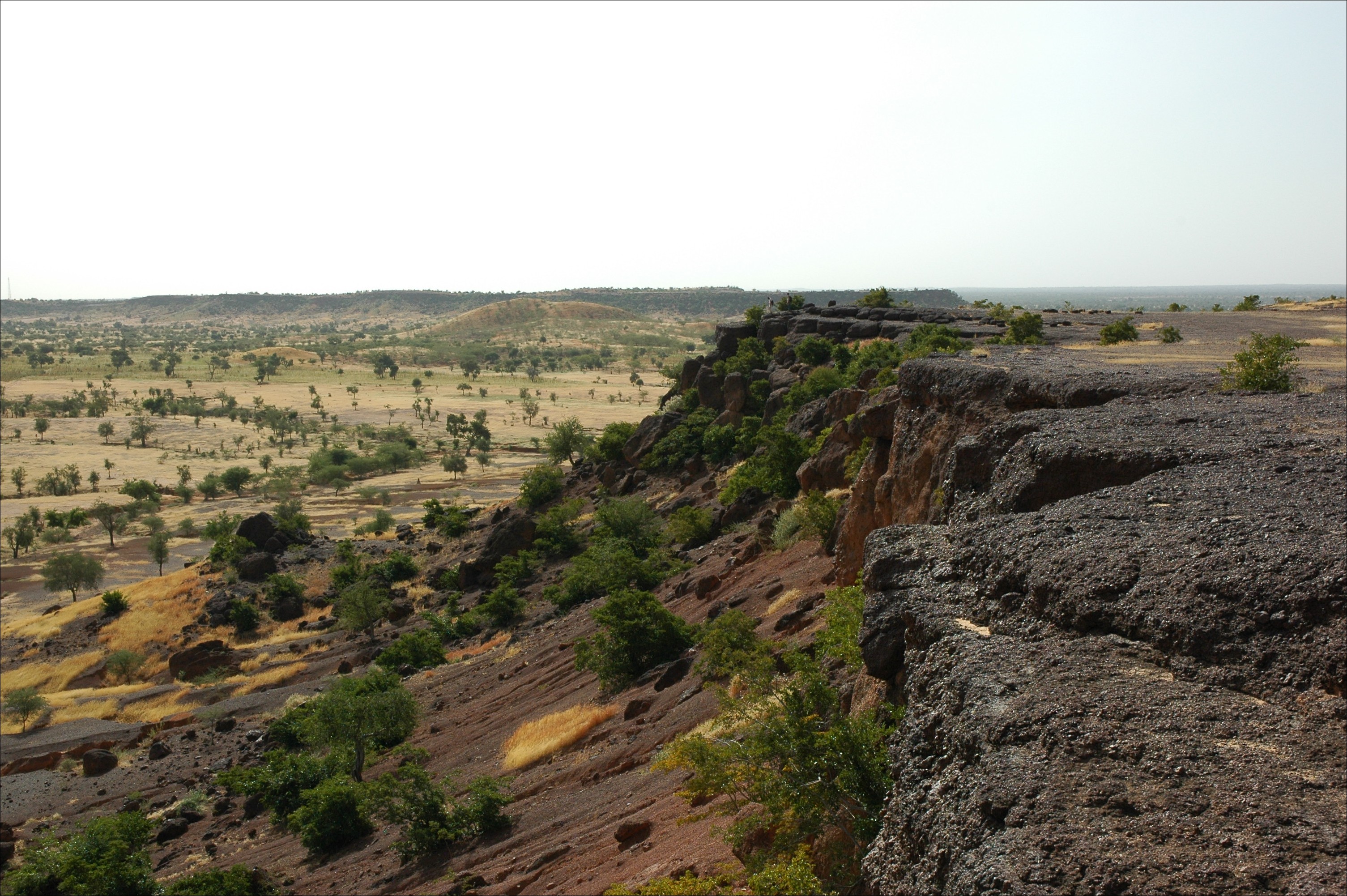
15c. Cliff in the ferricrete capping the High-Glacis pediment planation surface, showing the amplitude of post-18 Ma incision (Northwestern Burkina Faso). Photo: D. Chardon.
|
||||||||||||||||||||||||||||||||||||||