About TopoAfrica
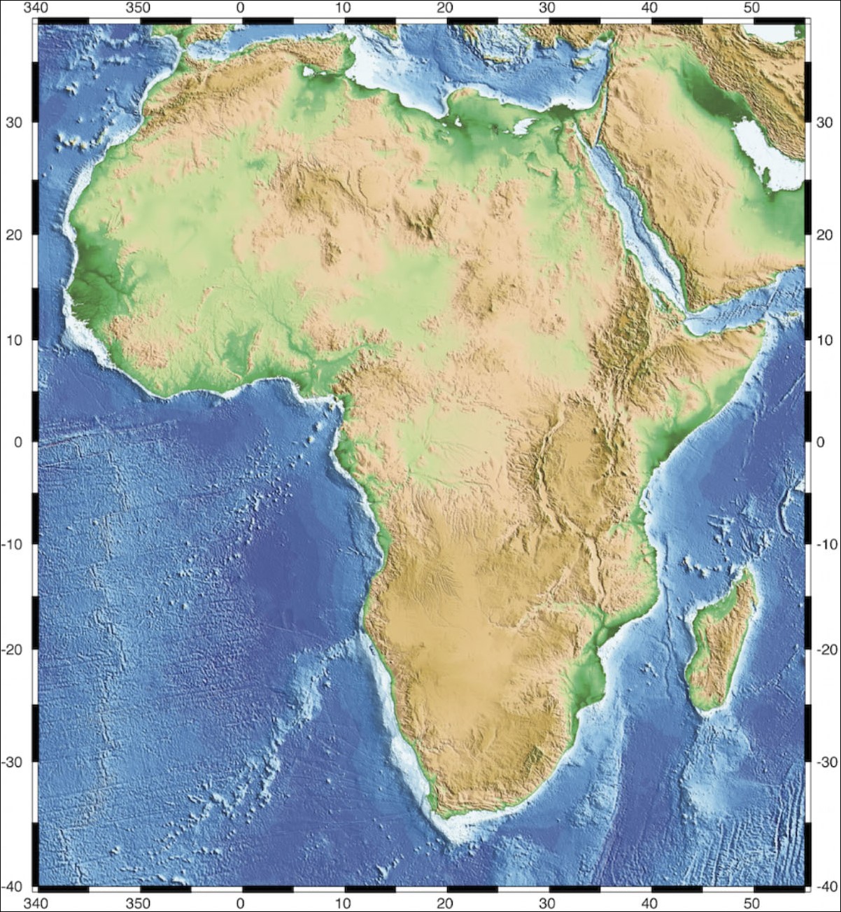
The main goal of this project is to quantify and understand the growth and decay of the long wavelength (1000 km) topography over the last 300 Myr at the scale of a continent - Africa.
At the centre of this project is the collection and integration of a broad range of geological data pertaining to the quantification of the Meso-Cenozoic topography and uplift rates of the African continent. This data will be synthesized as (i) a collection of new-style paleogeographic reconstructions yielding, for example, the geometry and geomorphology of paleocatchments, (ii) paleoprecipitation maps (iii) estimates of siliciclastic sedimentary fluxes and (iv) new thermochronological data.
However, to obtain an estimate of paleotopography directly from the geological record is not possible. On the one hand, there exists no direct measure of past topography. On the other hand, landscape response to spatially varying tectonic and climatic forcing is complex. We therefore propose to quantify past topographies of the African continent by inverting the geological data using a sediment production (erosion) and transport numerical model to determine a range of acceptable uplift histories (i.e., that are compatible with the data).
We have developed a new numerical model of sediment production and transport at the continental scale, TOPOSED (Simoes et al., 2010). This model will form the basis of the quantitative inversion of the observations to yield estimates of past topography. As part of this process, the model will be independently validated through local field projects targeting the quantification of the relative efficiency of physical and chemical erosion.
The magnitudes and rates of uplift will then be integrated with models of flow in the underlying mantle and of deformation of the lithosphere to test the various hypotheses put forward for the origin and evolution of the past and present-day topography of the African continent such as upwelling of hot mantle material or delamination of the mantle part of the lithosphere.
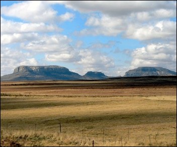
The African continent is an ideal natural laboratory to test these ideas as it has been relatively stable and has not undergone major tectonic activity apart from localised and fairly well documented rifting events. This is the first time that such an exhaustive compilation of surface geological observations will be used to constrain models of mantle flow and long-wavelength lithospheric deformation.